The planner: faster answers, your boat on the map, every stop in sight
A cluster of planner improvements shipped this week — the first look at any route lands in seconds, your boat shows where it actually is, and the map explains itself better.
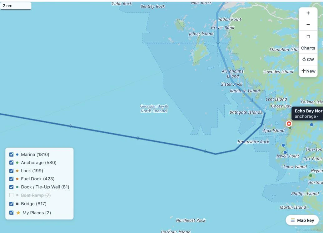
Water routes in seconds
The first look at a brand-new route now lands in a few seconds — including the island-maze anchorages that used to take fifteen or more. Routes you've viewed before stay instant. And when you're free cruising, every next-stop preview answers with the real water route first.
Your boat, live on the planner
Your boat's current position now shows on the planner map, so planning starts from where you actually are.
Every stop, always
The stops list and the map's stop markers now show every facility, regardless of which routes you have selected — nothing hides just because it's off today's line.
Names on the water
Island, bay and channel names from the US and Canadian government name registries now label the map, on by default — bigger and easier to read, so the chart talk in guides and briefings matches what you see.
A Loop Start that levels with you
Setting your Loop Start now searches every marina — and if a spot can't start your loop, it tells you why and names the nearest route instead of silently refusing.