42 destination guides, one map
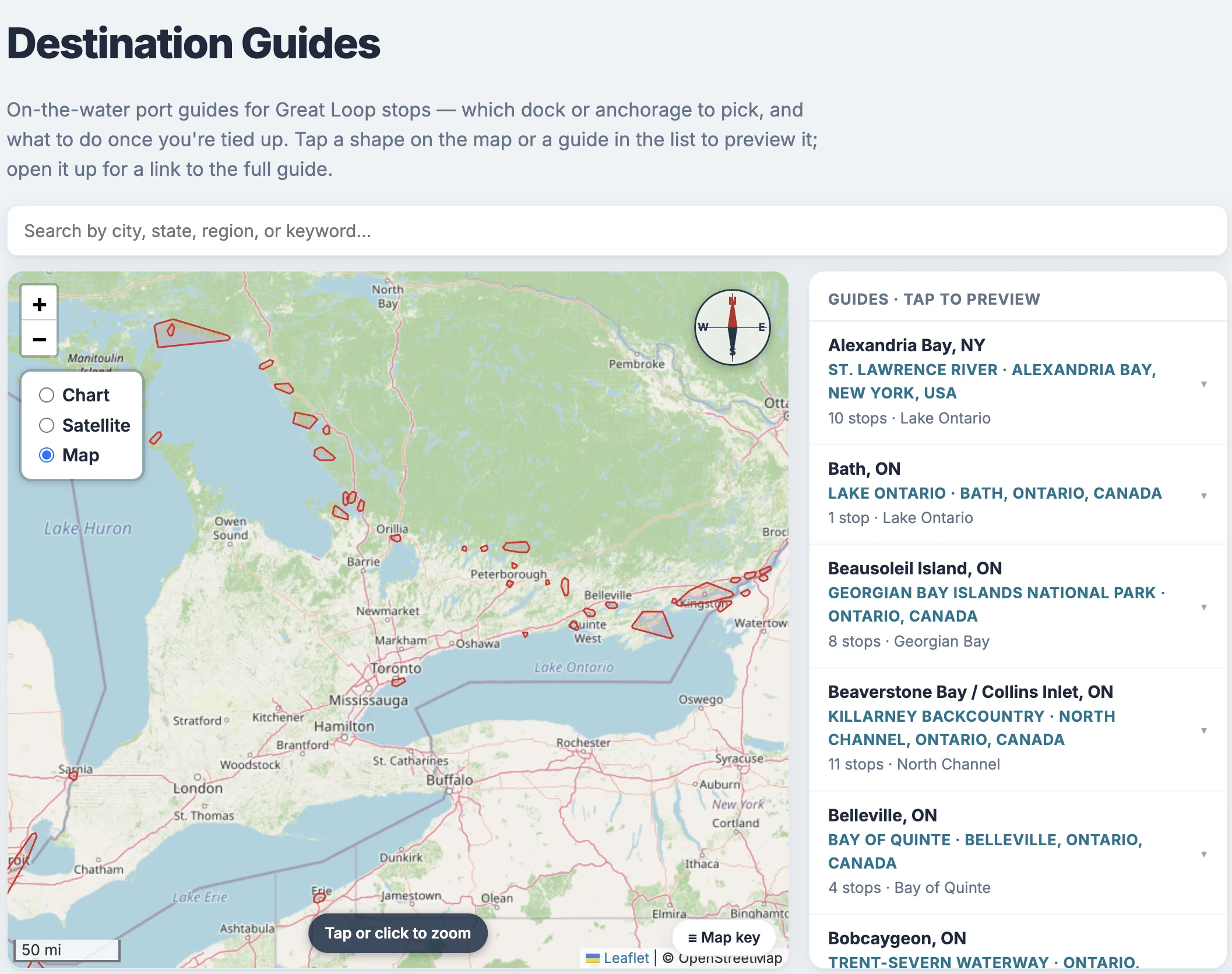
From Georgian Bay through the Trent-Severn corridor to the Thousand Islands — the guide library now covers dozens of harbors, anchorages and canal towns Loopers actually stop at, each researched dock by dock.
What a guide gives you
A facilities table (transient slips, fuel, pump-out, power, VHF), anchorages, what's ashore, and local knowledge — researched dock by dock, not scraped.
Where they cover
Georgian Bay and the Trent-Severn corridor, now reaching east to the Thousand Islands on both shores of the border — including the crossing pair Rockport, ON and Alexandria Bay, NY, with real customs phone numbers and the CBP ROAM app.
One map for all of them

Every page on Loop Captain links to it: scroll to the footer and tap "Destination Guides" (loopcaptain.com/guide) to open the all-guides map — every guide's coverage area drawn at once. Tap a shape, or search by city or region, to preview a guide; open it for the full page.
Your briefing knows
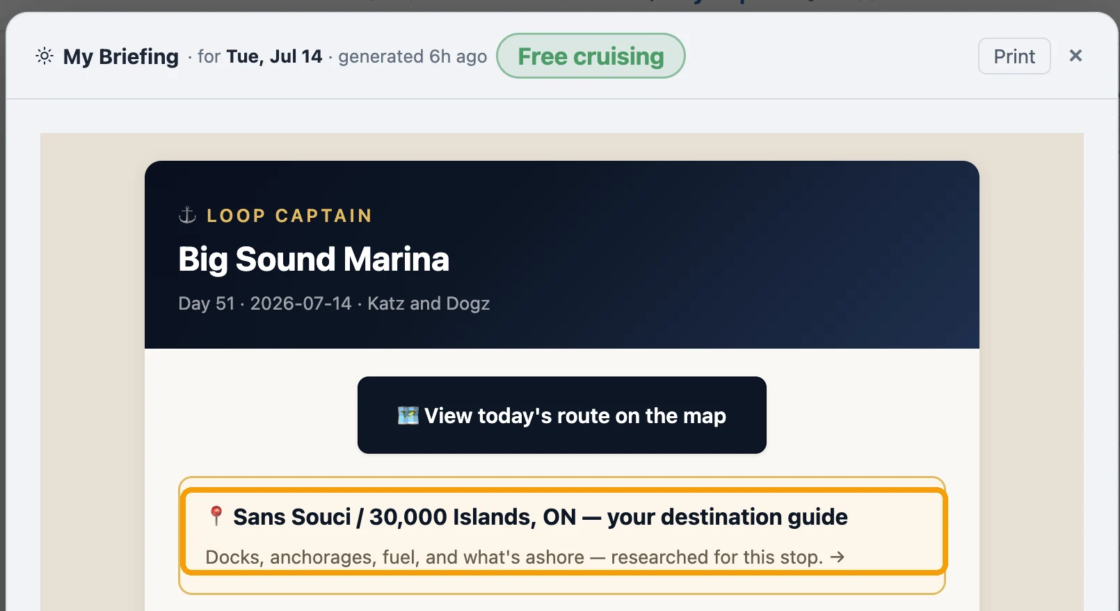
When your next stop is in guide territory, the morning briefing carries a gold card with a direct link straight to that stop's guide — no searching required.