Sea State — will it be rough where you're going?
A new planning tool on the Tools page. Enter wind, how far it has blown over open water, and how long it has blown — see wave height, period, steepness, and the largest wave to expect.
Where to find it
Open Tools, then Sea State. Or go straight to /tools/sea-state.
How to use it
Type the wind speed from the forecast, the stretch of open water the wind has to cross (fetch), and roughly how long the wind has been blowing. Results update as you type — there is no Calculate button.
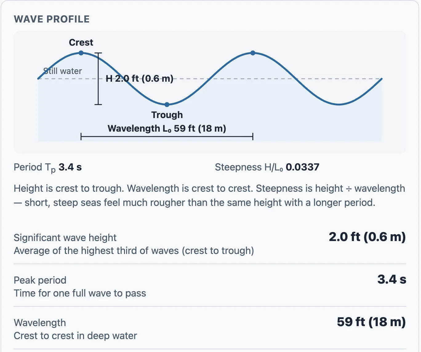
You'll see significant wave height in feet, peak period, wavelength, steepness, a plain-language sea-state label, and the largest wave you might meet in a few hours of that sea. A simple wave diagram labels crest, trough, height, and wavelength with the same numbers.
What it is — and isn't
This is a planning estimate for deep, open water and local wind-driven sea. It does not account for shallow water, wind against current, or swell from a distant storm. Always check the official marine forecast before you leave the dock.