Your route is the water now
Loop Captain now plans every day over charted water, from where your boat actually is, at your boat's draft. There is no switch to turn on — it is simply how My Trip works. And the Bahamas banks are on the chart.
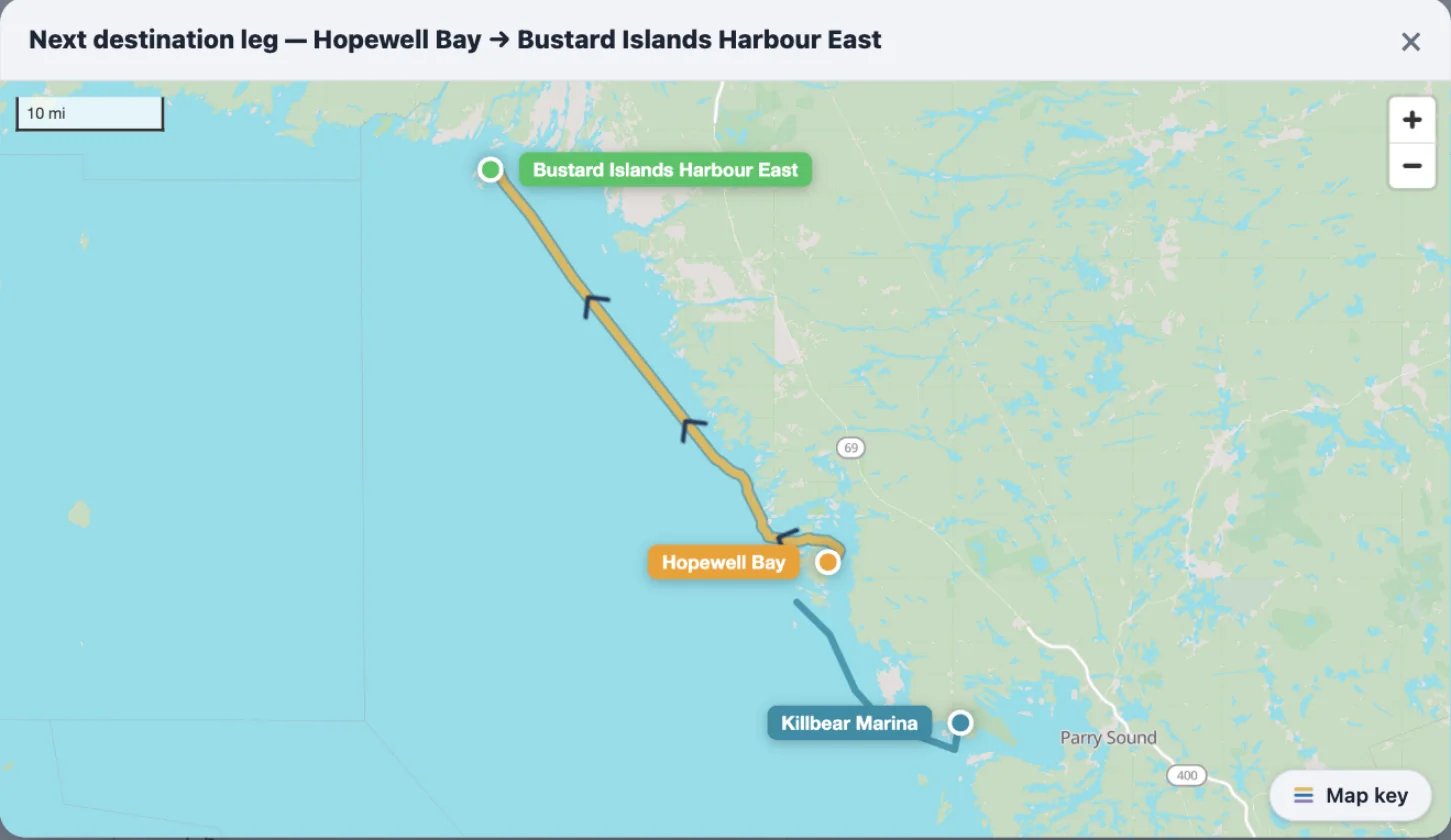
What changed, and why
Until now, My Trip snapped every leg — the ones you had run and the one ahead — onto the Great Loop route you chose when you set the trip up. Anchor in a cove off that line and your day was drawn back onto the line and measured along it. That was wrong twice over: the line was never the water you were actually on, and the distance was the plan's, not yours. Free cruising fixed it for the captains who turned it on. Now it is simply how every trip works.
Behind this is a planning-grade marine router Loop Captain built this year. It reads the charted depths and finds the route your boat can run at its draft — the Great Lakes, the Atlantic ICW, the Gulf, the inland rivers, the New York and Canadian canals, the St. Lawrence, and now the Bahamas banks. To see exactly where it covers, open the planner and turn on Chart Overlays → Routing coverage.
Planned from where you are
Set a destination and the leg you see is a water route: the channel, the crossing, the canal, drawn over the charts at your draft. Not a line traced along the Great Loop route you picked back in January. If you are in Georgian Bay and want a cove nobody's route goes near, the leg goes there.
The Loop route you built still matters — it decides which way you go where the Loop splits: Tenn-Tom or the Mississippi, the Cal-Sag or the Sanitary, the Okeechobee or the Keys. Those choices steer the water route at the forks and nowhere else.
Every leg says what it was checked against
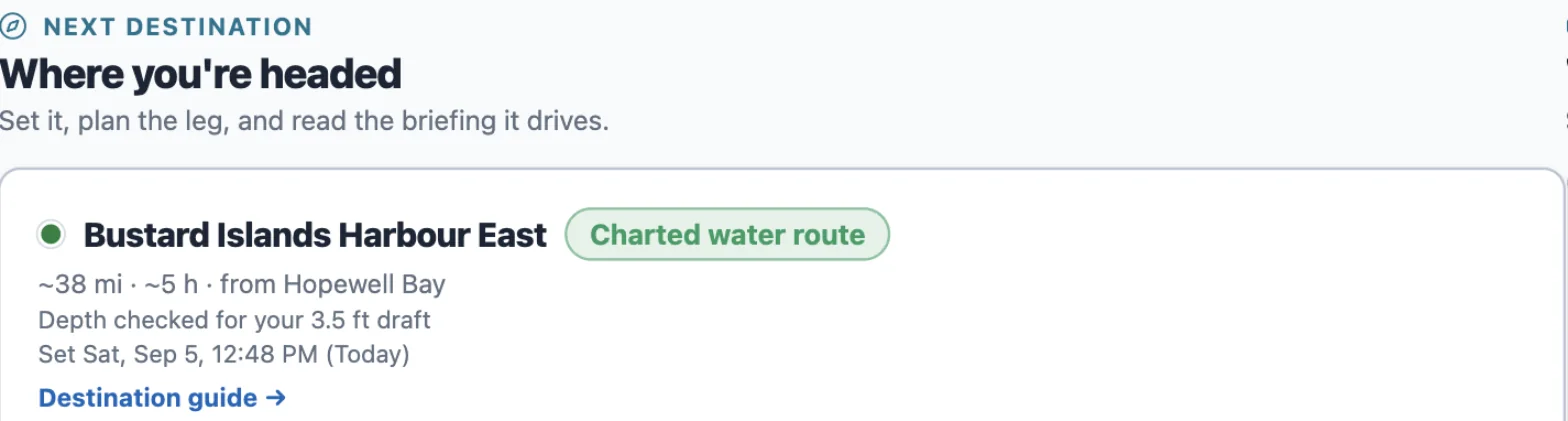
Next to the destination on My Trip there is a short label: Charted water route, Canal route, River route with the mile you are near, or Drawn Loop line. Under it, what the depth was checked for — "Depth checked for your 3.5 ft draft".
A drawn line means we have no charted water there yet and the leg follows the hand-drawn Loop line — a fair distance, not a depth-checked route. It says so, in those words.
No draft on your boat profile? The leg is planned for a 4 ft draft and tells you that too. Add your draft under Boat and it plans for yours.
The Bahamas
The banks are in: the northwest banks from Bimini and West End, the Abacos, the Exumas, and the south. Depths there are satellite estimates, not surveyed soundings — good enough to plan a day, not to skip the chart. The morning briefing carries the same route line and the same depth note.
What changed on the page
The Free cruising switch is gone from Trip Setup. The trip map shows your past legs and the next one — not a projection of the whole plan ahead. Places near you come first in every search, wherever you are.