Catching up: what we shipped and didn't tell you about
A few weeks of work went out without a note. This one catches up: your units everywhere, telling the app you've left the boat, the sky along the leg, finishing your Loop, fixing a logged day, lock closures on the Seasonal Planner, and more water the planner can route.
Your units, on every page and every device
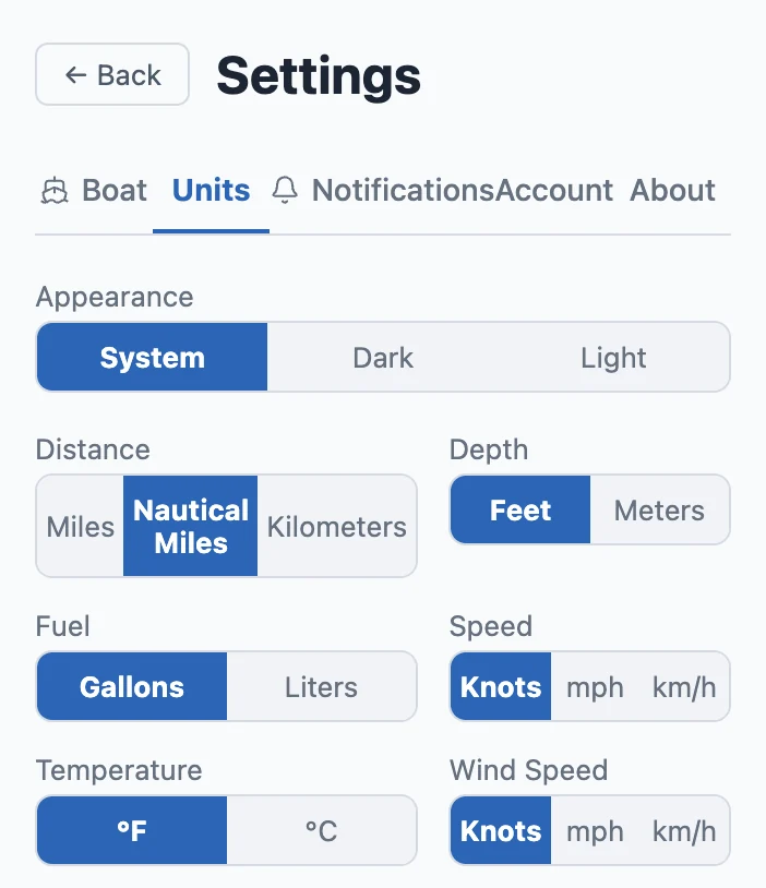
Settings → Units is where you pick Miles, Nautical Miles or Kilometers, and knots, mph or km/h. Those choices now reach every page that shows a distance or a speed — the Leg Departure Planner, the trip map, the map's scale bar, the open-water warning — and your other devices: set nautical miles on the laptop and the phone follows the next time it opens. A Travel Story you share opens in your units, and the person reading it can switch to theirs.
Tell the app you've left the boat
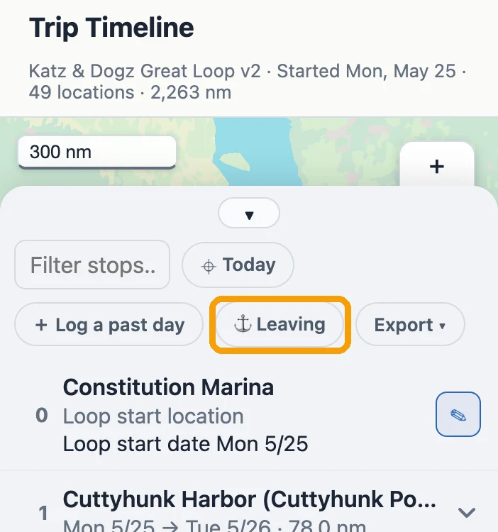
On the Timeline, "⚓ Leaving the boat" ("⚓ Leaving" on a phone) — press it the day you go, or before. From that day on the days don't count as unlogged, and the daily briefing stops until you're back. Don't know the return date? Leave it open and press "We're back" on the Timeline when you return. Nothing you've already logged changes.
The sky along the leg
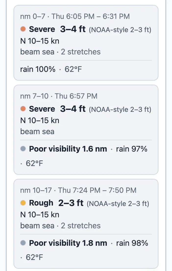
The Leg Departure Planner now shows the sky along the leg, stretch by stretch, at the hour you'll be there: temperature, the chance of rain, and visibility — "Poor visibility 1.6 nm" when it drops, fog when it falls under 0.5 nm, shaded on the map where and when it's expected. Rain is a chance, never an amount. It reports; it never tells you whether to go. And each wave figure now carries two numbers: ours, the bigger wave you should plan around, and beside it in grey the band NOAA publishes — "3–4 ft (NOAA-style 2–3 ft)" — so it lines up with the forecast you read elsewhere.
Finished your Loop?
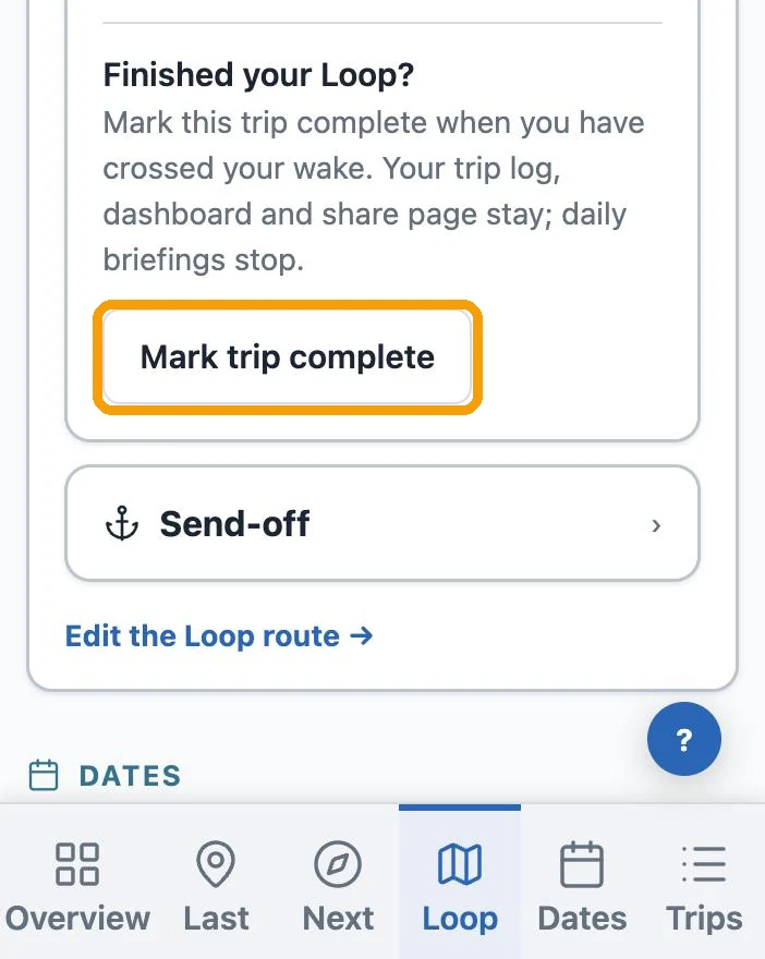
My Trip, at the end of the Loop section: "Finished your Loop?" → "Mark trip complete". Your trip log, dashboard and share page stay; daily briefings stop.
Fixing a logged day
Two slips that used to stick now come undone. A day logged as a run that was really a lay day: open it, switch it to Lay Day in Edit Entry, and the run comes off and the day becomes a stay where the boat actually was. And a lay day logged before the run that got you there — easy to do when you catch up on the log — can now be moved to the place you actually stayed.
Lock closures on the Seasonal Planner
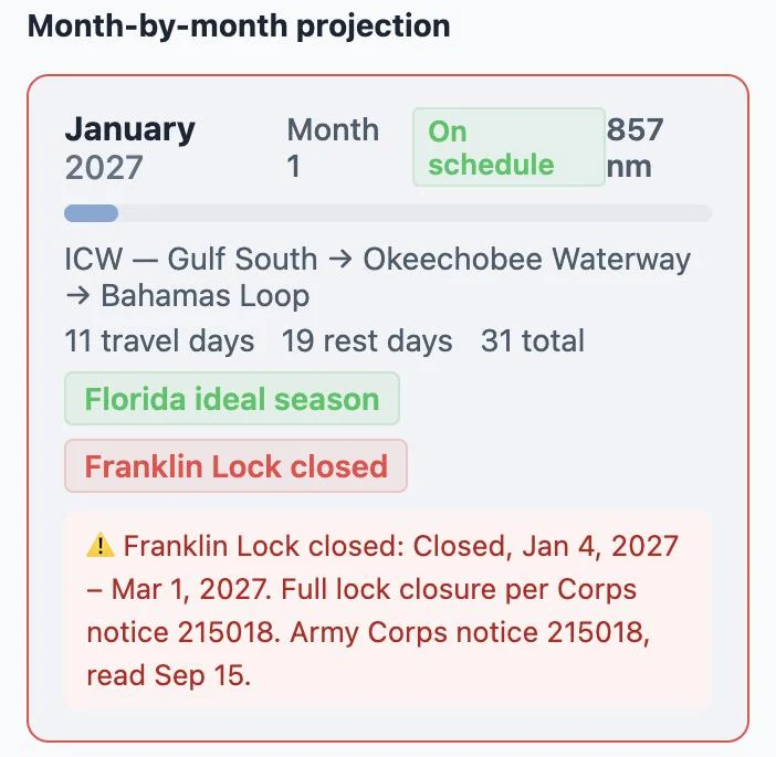
Tools → Seasonal Planner now shows dated lock closures on the months they hit, in that year only, with the Army Corps notice they came from. Planning the Okeechobee for winter: Franklin Lock is closed Jan 4 – Mar 1, 2027, then Ortona Lock Mar 1 – Apr 30.
More water the planner can route
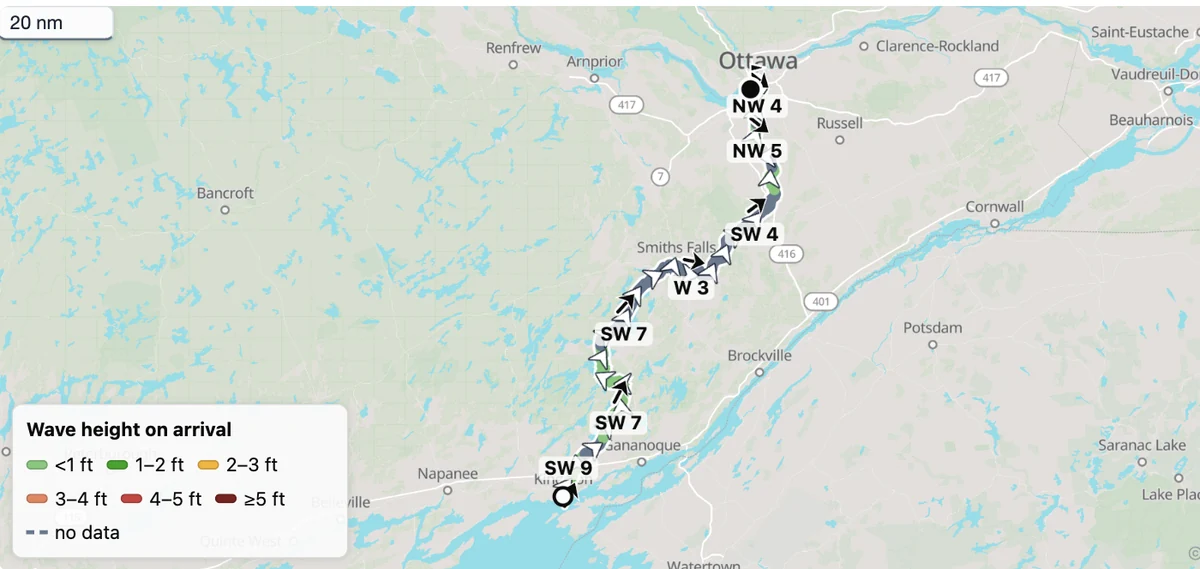
The Rideau Canal from Kingston to Ottawa, and the Tay Canal to Perth. The Bahamas banks — Bimini and the Berry Islands, Nassau and Eleuthera, the Exumas, the Abacos — where much of the depth is not charted, so the planner routes it and says when part of the way has no charted depth. Galveston Bay. The open water of Georgian Bay and Lake Huron. And Lake Pontchartrain, re-sounded, with Slidell reachable again through Bayou Bonfouca.